Unlock a world of possibilities! Login now and discover the exclusive benefits awaiting you.
- Qlik Community
- :
- Forums
- :
- Analytics
- :
- New to Qlik Analytics
- :
- Re: Granularity in Qliksense Maps
- Subscribe to RSS Feed
- Mark Topic as New
- Mark Topic as Read
- Float this Topic for Current User
- Bookmark
- Subscribe
- Mute
- Printer Friendly Page
- Mark as New
- Bookmark
- Subscribe
- Mute
- Subscribe to RSS Feed
- Permalink
- Report Inappropriate Content
Granularity in Qliksense Maps
Hi Everyone,
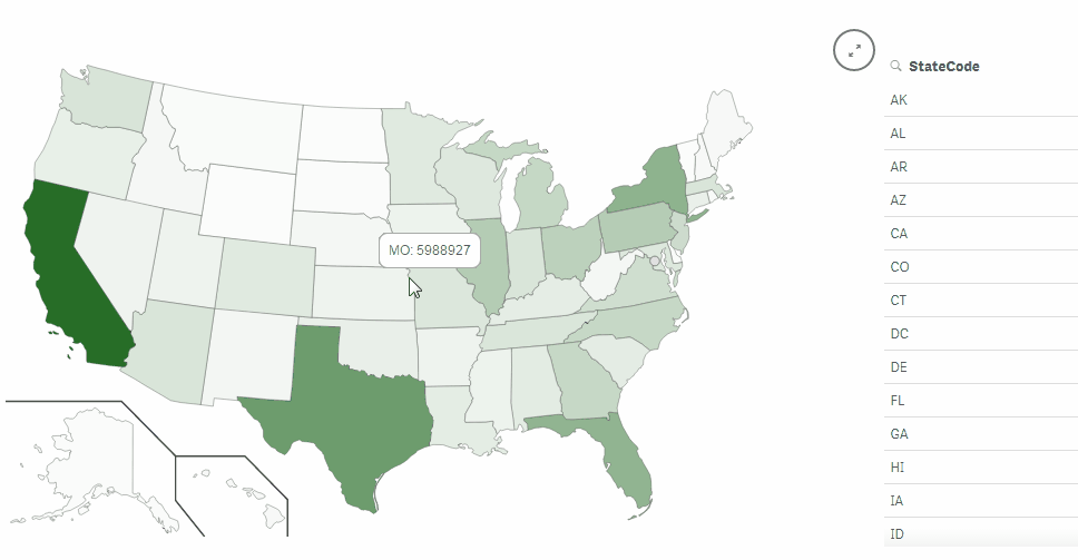
I need help on Qliksense maps. i have created a area map with all countries in world. I do have KML file with shape data for all countries. If a get a separate KML file with shape data of all states in a country, then can i plot states in each country in the previously created world map. Currently qliksense has option to add only one dimension for map object.
Map of countries and each country having map of states in it. Is it possible to drill down from countries to states?
- Mark as New
- Bookmark
- Subscribe
- Mute
- Subscribe to RSS Feed
- Permalink
- Report Inappropriate Content
you can only use one layer with native map object.
- Mark as New
- Bookmark
- Subscribe
- Mute
- Subscribe to RSS Feed
- Permalink
- Report Inappropriate Content
I've seen someone do some cool suff with tabs extension and 2 maps to mimic multiple layers.
If you want that out the box you should look at Geoanalytics for control of layers and behaviours within the map object.
- Mark as New
- Bookmark
- Subscribe
- Mute
- Subscribe to RSS Feed
- Permalink
- Report Inappropriate Content
Hi Sai
A great map visualization by the incomparable Brian Munz. The SVG Reader relies on SVG files rather than the KML files required in the native Qlik Sense map object. The extension comes packed with 30+ map files to start with. You can of course add your own files to the list.
The SVG Reader comes with tons of options for pop-ups, colors and zooms.
Individual “shapes” can be selected, like in native objects.
If you are having trouble coming up with KML data, this would be a great alternative option.
Try this
- Mark as New
- Bookmark
- Subscribe
- Mute
- Subscribe to RSS Feed
- Permalink
- Report Inappropriate Content
i'm using for a customer QlikMaps , take a look at it.
using that extension you can do a drill down from a layer to another.
- Mark as New
- Bookmark
- Subscribe
- Mute
- Subscribe to RSS Feed
- Permalink
- Report Inappropriate Content
is it a freeware?
- Mark as New
- Bookmark
- Subscribe
- Mute
- Subscribe to RSS Feed
- Permalink
- Report Inappropriate Content
unfortunately no.