Unlock a world of possibilities! Login now and discover the exclusive benefits awaiting you.
- Qlik Community
- :
- Forums
- :
- Analytics
- :
- New to Qlik Analytics
- :
- Re: New Jersey cities Map in Qlik sense
- Subscribe to RSS Feed
- Mark Topic as New
- Mark Topic as Read
- Float this Topic for Current User
- Bookmark
- Subscribe
- Mute
- Printer Friendly Page
- Mark as New
- Bookmark
- Subscribe
- Mute
- Subscribe to RSS Feed
- Permalink
- Report Inappropriate Content
New Jersey cities Map in Qlik sense
Hi All,
I am new to Qlik sense, Please let me know how to get New Jersey cities map in Qlik sense.
- Mark as New
- Bookmark
- Subscribe
- Mute
- Subscribe to RSS Feed
- Permalink
- Report Inappropriate Content
Here is a good video:
Using the Maps Chart Object - Points Maps - Part 1 - (video)
You would need to get Latitude/Longitude data for all the cities in NJ and follow the steps in the video to map them.
Asim
- Mark as New
- Bookmark
- Subscribe
- Mute
- Subscribe to RSS Feed
- Permalink
- Report Inappropriate Content
+1 -- the challenge is getting "Lat/Long" for each object that you want to plot on the map. (I had to built that logic in our database backend and ended up using 3rd party API to get the lat/long for each address)
Once you have lat/long, it's pretty straightforward!
And map can be zoomed in and gives enough detail -- our business users have been pretty happy with that.
- Mark as New
- Bookmark
- Subscribe
- Mute
- Subscribe to RSS Feed
- Permalink
- Report Inappropriate Content
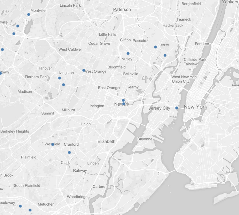
If you add a tile server URL for the background you come down to the street level:
http://tile.openstreetmap.org/${z}/${x}/${y}.png
