Unlock a world of possibilities! Login now and discover the exclusive benefits awaiting you.
- Qlik Community
- :
- All Forums
- :
- GeoAnalytics
- :
- Re: Map without latitude and longitude params
- Subscribe to RSS Feed
- Mark Topic as New
- Mark Topic as Read
- Float this Topic for Current User
- Bookmark
- Subscribe
- Mute
- Printer Friendly Page
- Mark as New
- Bookmark
- Subscribe
- Mute
- Subscribe to RSS Feed
- Permalink
- Report Inappropriate Content
Map without latitude and longitude params
Hi,
I need to create a QlikSENSE Map. I don't have any information about latitude and longitude.
I have Only Posta Code.
Someone has any idea about this?
I attached app.
Thanks Anna
- « Previous Replies
-
- 1
- 2
- Next Replies »
- Mark as New
- Bookmark
- Subscribe
- Mute
- Subscribe to RSS Feed
- Permalink
- Report Inappropriate Content
I think the only way is using QlikGeoAnalytics. With Geo you can create maps without Points, using only City names, postal codes, and country names.
Other option is that you ccan search the (Latitude, Longitude) for each city and paste it as a field. Then you will create maps without GeoAnalytics.
Here you can find the latitude and longitude for italy cities.
- Mark as New
- Bookmark
- Subscribe
- Mute
- Subscribe to RSS Feed
- Permalink
- Report Inappropriate Content
OK, thank you. In my app i use this tag but not enough.
TAG FIELDS CAP WITH $geomultipolygon;
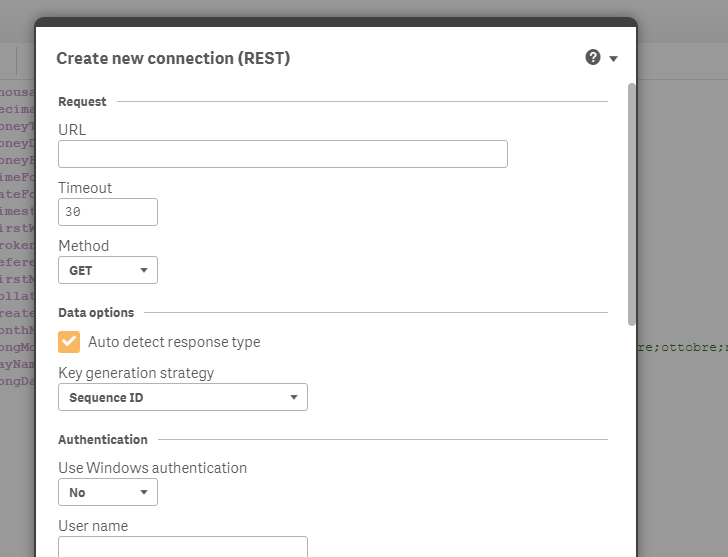
In your opinion i have to use REST Connector with Google Analytics?
- Mark as New
- Bookmark
- Subscribe
- Mute
- Subscribe to RSS Feed
- Permalink
- Report Inappropriate Content
For the map thing i think you dont need to use REST. But im not sure what you want
- Mark as New
- Bookmark
- Subscribe
- Mute
- Subscribe to RSS Feed
- Permalink
- Report Inappropriate Content
Hi Anna,
I am guessing you are looking for indian postal code points.
you can get the pincodes from government websites and load it into a table in qlikview.
Use the named point lookup and use the pincode field to get lat-longs for each pincode.
then you can plot them easily on the map.
Hope this helps.
- Mark as New
- Bookmark
- Subscribe
- Mute
- Subscribe to RSS Feed
- Permalink
- Report Inappropriate Content
Hi Rajan, i am looking italian postal code points. I can't find it.
I don't know how to do a map fpr this analysis.
Can you help me?
- Mark as New
- Bookmark
- Subscribe
- Mute
- Subscribe to RSS Feed
- Permalink
- Report Inappropriate Content
Hi Anna,
create a new qvw file and use the load operation to load all the zipcode points of italy.
the following script should be generated
SQL SELECT * FROM Load(dataset='Dataset')
DATASOURCE Dataset LOCATIONSERVICE geometry='POINT',type='XPC',country='IT',serviceName='default'.
in simlar way you can find out yourself for other countries, wether they have lat longs for that specific country's zip code.
attaching the output of the above operation here
- Mark as New
- Bookmark
- Subscribe
- Mute
- Subscribe to RSS Feed
- Permalink
- Report Inappropriate Content
IN qlik Sense? Connection with?
- Mark as New
- Bookmark
- Subscribe
- Mute
- Subscribe to RSS Feed
- Permalink
- Report Inappropriate Content
works with borth Qlik sense and Qlik view.
in your script editor you can see a geo analytics connector. Use that connector to insert connection string and select data using that connector - select load operation and then fill in the parameters as shown in the above query.
press ok and a script will be generated as I mentioned in my previous reply.
- Mark as New
- Bookmark
- Subscribe
- Mute
- Subscribe to RSS Feed
- Permalink
- Report Inappropriate Content
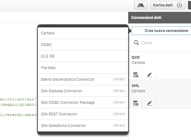
How do i create geoanalytics connection?
How of this? Which parametres for geoanalytics connection?
- « Previous Replies
-
- 1
- 2
- Next Replies »