Unlock a world of possibilities! Login now and discover the exclusive benefits awaiting you.
- Qlik Community
- :
- Forums
- :
- Analytics
- :
- App Development
- :
- Re: Qlik Sense Map(Beta)
- Subscribe to RSS Feed
- Mark Topic as New
- Mark Topic as Read
- Float this Topic for Current User
- Bookmark
- Subscribe
- Mute
- Printer Friendly Page
- Mark as New
- Bookmark
- Subscribe
- Mute
- Subscribe to RSS Feed
- Permalink
- Report Inappropriate Content
Qlik Sense Map(Beta)
Hello folks!
I'm having some problems with this chart.
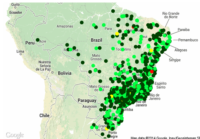
First in QV11 I have a chart with google maps, where I'm using two dimensions and the common parameters to it works.
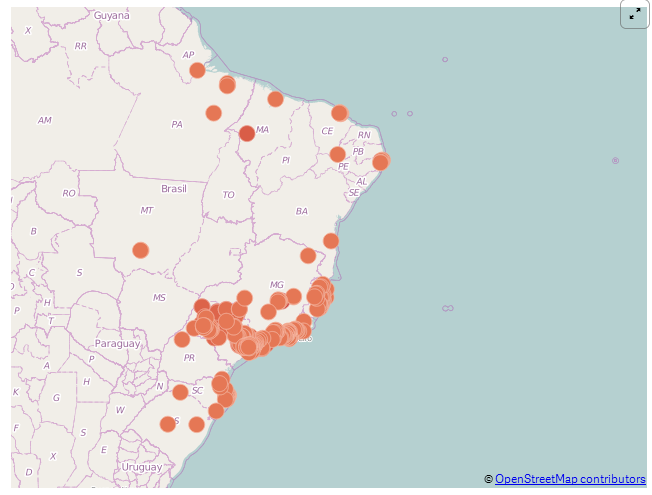
What I'm trying to do is make the same chart in Qlik Sense, but there is a limitation of only one dimensions, and even if I use the same latitude and longitude codes of the QV11 app, things don't seem correct...
The latitude and longitude may be interfering in the presentation between the charts?
QV11:
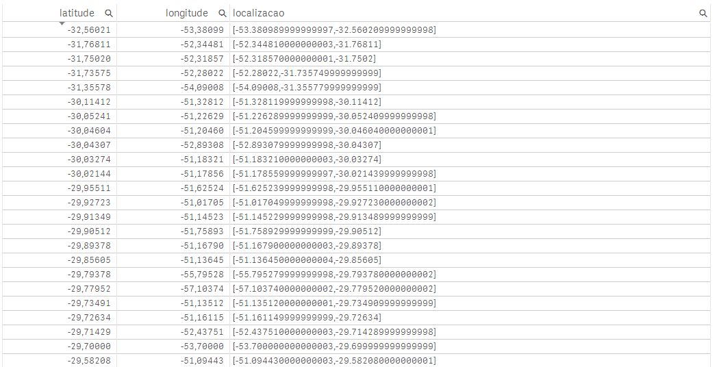
Sense: (localizacao is the GeoMakePoint function result)
- Mark as New
- Bookmark
- Subscribe
- Mute
- Subscribe to RSS Feed
- Permalink
- Report Inappropriate Content
Hi Vitor,
I am also getting the same problem:
Http://community.qlik.com/thread/136881
- Mark as New
- Bookmark
- Subscribe
- Mute
- Subscribe to RSS Feed
- Permalink
- Report Inappropriate Content
Yes, there is limitation on maps. So you cannot add another layer as dimension. But you can add measures. Try GEO functionality code in Data load editor. Still I'm also working on it.
- Mark as New
- Bookmark
- Subscribe
- Mute
- Subscribe to RSS Feed
- Permalink
- Report Inappropriate Content
Also Sense has a limitation on the number of points shown.
But there should be a message saying this underneath the map.