Unlock a world of possibilities! Login now and discover the exclusive benefits awaiting you.
- Qlik Community
- :
- Forums
- :
- Analytics
- :
- App Development
- :
- Qlik Sense Maps
- Subscribe to RSS Feed
- Mark Topic as New
- Mark Topic as Read
- Float this Topic for Current User
- Bookmark
- Subscribe
- Mute
- Printer Friendly Page
- Mark as New
- Bookmark
- Subscribe
- Mute
- Subscribe to RSS Feed
- Permalink
- Report Inappropriate Content
Qlik Sense Maps
hi,
i have 20 files .kml about italian regioni (LOMBARDIA, PIEMONTE etc etc) as I don't find an unique files of Italy.kml
My question is:
depending on my selection, is it possible to change the map?
For istance:
I select LOMBARDIA and I see a "lombardia image" about all points (city) .
I select PIEMONTE and I should see a "Piemonte image" and all its points.
How could I do an instruction
CASE LOMBARDIA
......
CASE PIEMONTE
.....
CASE LIGURIA
and so on.
- Mark as New
- Bookmark
- Subscribe
- Mute
- Subscribe to RSS Feed
- Permalink
- Report Inappropriate Content
Hi Fabio,
It seems like you are looking for Google map for QlikSense and I am not sure if it is available for QlikSense. However, you can check this link to see all the available maps:
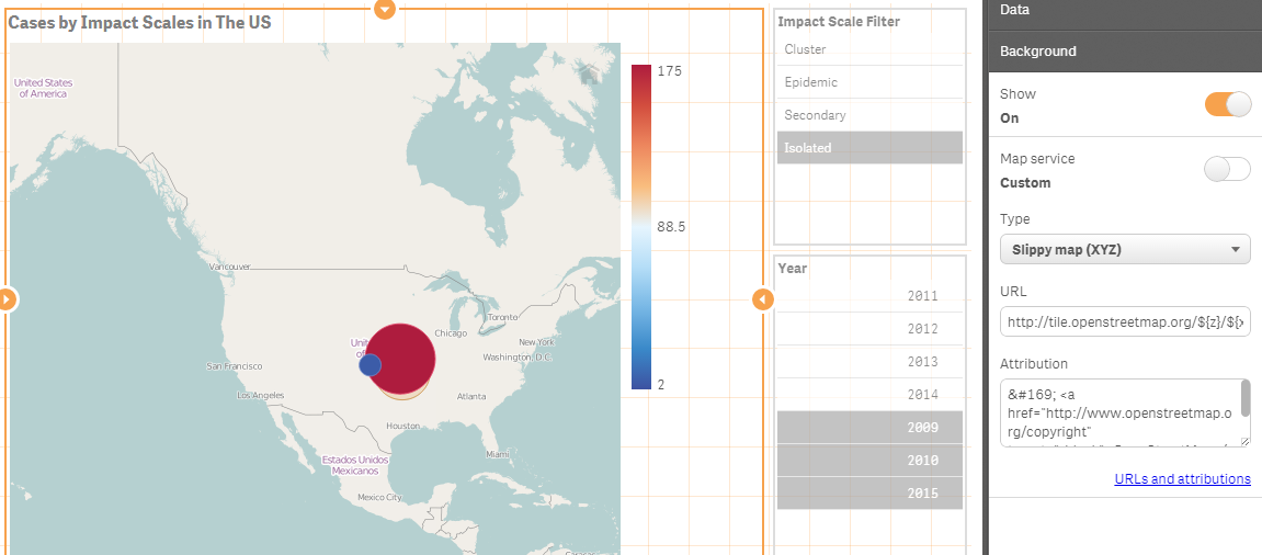
A while ago, I created a map and I used the very first map in the above link:
- Mark as New
- Bookmark
- Subscribe
- Mute
- Subscribe to RSS Feed
- Permalink
- Report Inappropriate Content
Hi Fabio,
You should be able to import the KML files into the same virtual table and then use the map point/area name to select down to a specific region.
If you are using Qlik Sense 2 there is improved map support including for navigation so this should help you to achieve the effect you are after.
Hope this helps.
Kind regards,
Rod