Unlock a world of possibilities! Login now and discover the exclusive benefits awaiting you.
- Qlik Community
- :
- All Forums
- :
- QlikView Integrations
- :
- Google Map Extension with Overlay
- Subscribe to RSS Feed
- Mark Topic as New
- Mark Topic as Read
- Float this Topic for Current User
- Bookmark
- Subscribe
- Mute
- Printer Friendly Page
- Mark as New
- Bookmark
- Subscribe
- Mute
- Subscribe to RSS Feed
- Permalink
- Report Inappropriate Content
Google Map Extension with Overlay
Hi All,
I am trying to find a way to display a map with a custom image overlay. I was wondering if anyone knows of an extension that would support this functionality? I have tried to play with Google Map - Cluster extension but I haven't been able to get it work with a transparent .png file overlay. I would love to hear if any of you brilliant lot have been able to get something like this to work?
Cheers!
Rick
- Mark as New
- Bookmark
- Subscribe
- Mute
- Subscribe to RSS Feed
- Permalink
- Report Inappropriate Content
Hi Rick,
How should the overlay work, should it move with map as you pan or should it stay fix to the window?
Thanks,
Patric Nordström
Idevio
- Mark as New
- Bookmark
- Subscribe
- Mute
- Subscribe to RSS Feed
- Permalink
- Report Inappropriate Content
Hi Patric,
Sorry for the long delay in responding. I am needing it to move with the map. This is the .png overlay that needs to be
placed on top of the Google Maps - Cluster map. I know there has to be some small (hopefully) tweak to the .js file for the extension that will allow me to point it to this png? Am I wrong?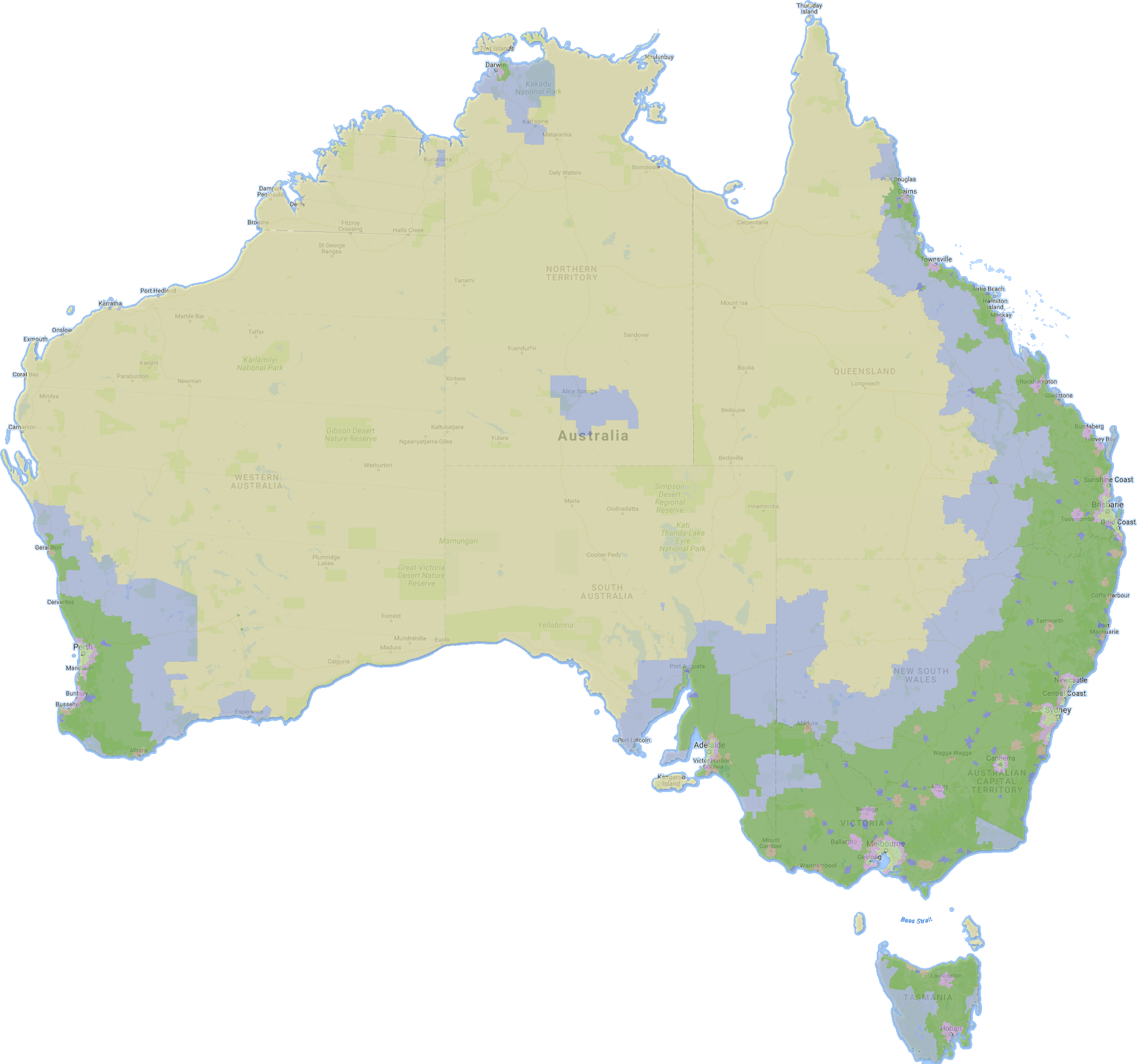
- Mark as New
- Bookmark
- Subscribe
- Mute
- Subscribe to RSS Feed
- Permalink
- Report Inappropriate Content
Hi Rick, what's the source of the map? It might be possible to integrate directly using an api .
Is it some sort of land classification?
However the cluster extension you refer to may not powerful enough.
Thanks,
Patric
- Mark as New
- Bookmark
- Subscribe
- Mute
- Subscribe to RSS Feed
- Permalink
- Report Inappropriate Content
I suspect but could be wrong, that you might be better working with a KML file and the Quickmap extension
http://branch.qlik.com/#!/project/56728f52d1e497241ae69780
It might be a pain to get the png to a shapefile but probably more interactive in the longer run?