Unlock a world of possibilities! Login now and discover the exclusive benefits awaiting you.
- Qlik Community
- :
- Forums
- :
- Analytics
- :
- New to Qlik Analytics
- :
- geo mapping
- Subscribe to RSS Feed
- Mark Topic as New
- Mark Topic as Read
- Float this Topic for Current User
- Bookmark
- Subscribe
- Mute
- Printer Friendly Page
- Mark as New
- Bookmark
- Subscribe
- Mute
- Subscribe to RSS Feed
- Permalink
- Report Inappropriate Content
geo mapping
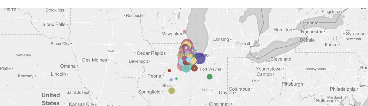
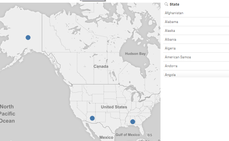
I have a geo map but displays all the states I only need Wisconsin, Illinois, and Indiana.
Can you limit the area of this?
I tried this.
[US-States.shp/Features]:
LOAD [US States.Name] as State,
[US States.Point],
[US States.Area]
FROM [lib://AttachedFiles/US States.kml]
(kml, Table is [US-States.shp/Features])
Where [US States.Name] = 'Wisconsin' and 'Illinois' and 'Indiana';
It loaded without errors but did nothing
- Tags:
- geo zoom
- Mark as New
- Bookmark
- Subscribe
- Mute
- Subscribe to RSS Feed
- Permalink
- Report Inappropriate Content
use or not and
Where [US States.Name] = 'Wisconsin' or [US States.Name] = 'Illinois' or [US States.Name] = 'Indiana';
or better this way
where match( [US States.Name] ,'Wisconsin' ,'Illinois' ,'Indiana')
- Mark as New
- Bookmark
- Subscribe
- Mute
- Subscribe to RSS Feed
- Permalink
- Report Inappropriate Content
Still displays other states
But when I refresh it tells me lines fetched 0
- Mark as New
- Bookmark
- Subscribe
- Mute
- Subscribe to RSS Feed
- Permalink
- Report Inappropriate Content
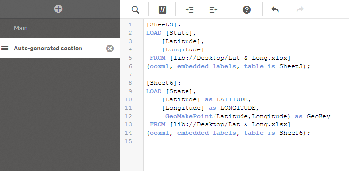
I can see you loading the data locally from KML file.
I'd suggest Delete all other states except Wisconsin, Illinois, and Indiana.
State Latitude Longitude
Wisconsin xxxxxxx xxxxxxx
Illinois xxxxxx xxxxxx
Indiana xxxxxx xxxxxx
Your script will look
LOAD [State],
[Latitude] as LATITUDE,
[Longitude] as LONGITUDE,
GeoMakePoint(Latitude,Longitude) as GeoKey
FROM [lib://AttachedFiles/US States.kml]
(kml, Table is [US-States.shp/Features])
Do not forget to make a GeoKey for this, so that you can use this as a Layer. Cus you using a bubble map and it is not a polygon map.
For Polygon map it is not required I guess.
And then you can load full KML file with all states and all Lat & Long but do not add GeoMakePoint in this script.
So you'll have 2 data sets loaded
1. Only with States which you want to load inside map
2. Full load of data set
You'll get a Synthetic key but change the names of Latitude and Longitude in each load. State name will be same and it will be the primary key.
- Mark as New
- Bookmark
- Subscribe
- Mute
- Subscribe to RSS Feed
- Permalink
- Report Inappropriate Content
Could you post your app?