Unlock a world of possibilities! Login now and discover the exclusive benefits awaiting you.
- Qlik Community
- :
- Forums
- :
- Analytics & AI
- :
- Products & Topics
- :
- App Development
- :
- Labels on Area Maps?
- Subscribe to RSS Feed
- Mark Topic as New
- Mark Topic as Read
- Float this Topic for Current User
- Bookmark
- Subscribe
- Mute
- Printer Friendly Page
- Mark as New
- Bookmark
- Subscribe
- Mute
- Subscribe to RSS Feed
- Permalink
- Report Inappropriate Content
Labels on Area Maps?
Qlik Sense Question......
I have a .KML file of my state by county and I have linked it to census data which works very well.
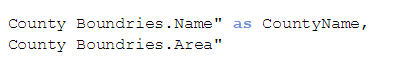
However, you have to hover over the County to see the name. Do you know how to have the respective labels for each county always appear to aide the user? Will this have to take place in the shape file or can I control this from within the Data Load Editor such as County Boundries.Label?
Thank you in advance!

- Mark as New
- Bookmark
- Subscribe
- Mute
- Subscribe to RSS Feed
- Permalink
- Report Inappropriate Content
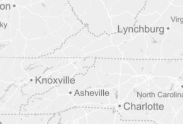
Additional content to my above questions.....this is what I want to achieve...see the states with labels below.....I want to achieve this for my county file.
- Mark as New
- Bookmark
- Subscribe
- Mute
- Subscribe to RSS Feed
- Permalink
- Report Inappropriate Content
Hi,
I am not sure that you can display labels on areas in the Sense map. This is what it could look like in IdevioMaps (http://bi.idevio.com):
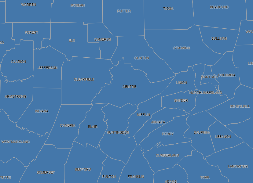
You can set the labels to any Qlik expression in the properties of the Area Layer. Also you can turn them off when you zoom out more than a certain resolution.
/Johan