Unlock a world of possibilities! Login now and discover the exclusive benefits awaiting you.
- Qlik Community
- :
- All Forums
- :
- GeoAnalytics
- :
- Is the Map chart in Qlik Sense April 2018 ignoring...
- Subscribe to RSS Feed
- Mark Topic as New
- Mark Topic as Read
- Float this Topic for Current User
- Bookmark
- Subscribe
- Mute
- Printer Friendly Page
- Mark as New
- Bookmark
- Subscribe
- Mute
- Subscribe to RSS Feed
- Permalink
- Report Inappropriate Content
Is the Map chart in Qlik Sense April 2018 ignoring GeoJSON polygons?
Greetings!
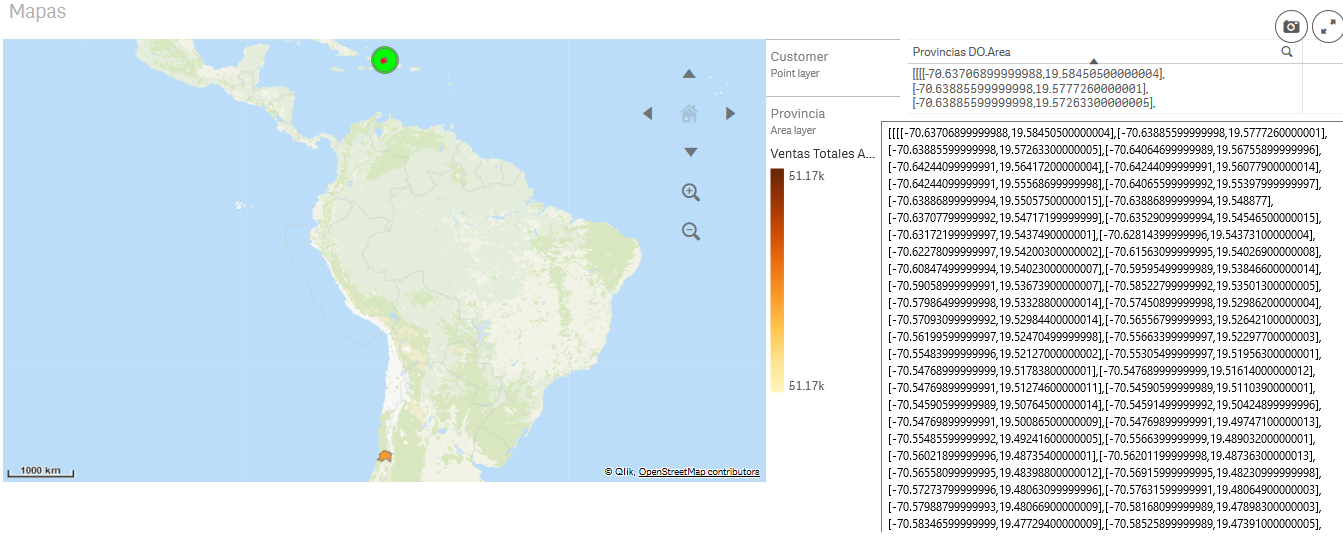
I have loaded the coordinates for the polygons of provinces in the Dominican Republic as part of the data in a Qlik Sense App (April 2018). One of the provinces in our country is called "Santiago" (there are at least 3 cities / provinces called Santiago in Latam). Curiously, for some reason unknown to me, the area layer of the standard Map chart seems to be drawing the area of the province of Santiago in Chile, even though the polygon used as dimension for this layer contains the points corresponding to the province of Santiago in the Dominican Republic.
Does anyone have any ideas on what's going on here?
Cheers,
--José
Accepted Solutions
- Mark as New
- Bookmark
- Subscribe
- Mute
- Subscribe to RSS Feed
- Permalink
- Report Inappropriate Content
Hi,
Set the Location -> Location field in the area layer to Provincias DO.Area.
By default the area layer uses the location lookup service to guess the area geometry from the name of the area.
Thanks,
Patric
- Mark as New
- Bookmark
- Subscribe
- Mute
- Subscribe to RSS Feed
- Permalink
- Report Inappropriate Content
Thank you Patric! --José