Unlock a world of possibilities! Login now and discover the exclusive benefits awaiting you.
- Qlik Community
- :
- All Forums
- :
- GeoAnalytics
- :
- Re: KML Optimization
- Subscribe to RSS Feed
- Mark Topic as New
- Mark Topic as Read
- Float this Topic for Current User
- Bookmark
- Subscribe
- Mute
- Printer Friendly Page
- Mark as New
- Bookmark
- Subscribe
- Mute
- Subscribe to RSS Feed
- Permalink
- Report Inappropriate Content
KML Optimization
Hi, i have made a geo map with kml files on world level but it's taking too long to load it. How can i optimize the loading time along with each selection for the same.
- Subscribe by Topic:
-
General Question
-
GeoAnalytics
-
GeoOperations
-
Operation
-
Qlik Sense
- Mark as New
- Bookmark
- Subscribe
- Mute
- Subscribe to RSS Feed
- Permalink
- Report Inappropriate Content
Hi Vasujoshi_700,
You can use this function GeoReduceGeometry: GeoReduceGeometry - script and chart function ‒ Qlik Cloud
Br,
Ludo
- Mark as New
- Bookmark
- Subscribe
- Mute
- Subscribe to RSS Feed
- Permalink
- Report Inappropriate Content
I have tried but it is not working, i had to set language to auto mode to optimized the loading speed.
- Mark as New
- Bookmark
- Subscribe
- Mute
- Subscribe to RSS Feed
- Permalink
- Report Inappropriate Content
But thanku very much for the concern.
- Mark as New
- Bookmark
- Subscribe
- Mute
- Subscribe to RSS Feed
- Permalink
- Report Inappropriate Content
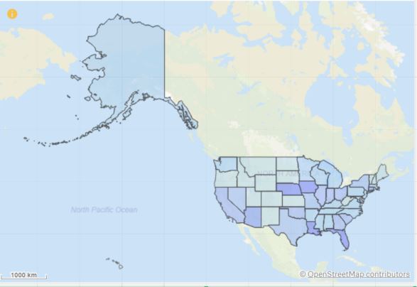
I am plotting coordinates on the US map and I wanted to have Alaska and Hawaii below the US mainland. How I accomplish this? I have watched some YouTube videos showing one needs to download a .kml file in order to then shift Alaska and Hawaii below the mainland. Currently, Alaska appear way bigger than the 48 states. Please advise!
- Mark as New
- Bookmark
- Subscribe
- Mute
- Subscribe to RSS Feed
- Permalink
- Report Inappropriate Content
Hi ,
not working on script ?
Br,
Ludo