Unlock a world of possibilities! Login now and discover the exclusive benefits awaiting you.
- Qlik Community
- :
- Forums
- :
- Analytics
- :
- New to Qlik Analytics
- :
- Re: Dimensions are showing empty for map object in...
- Subscribe to RSS Feed
- Mark Topic as New
- Mark Topic as Read
- Float this Topic for Current User
- Bookmark
- Subscribe
- Mute
- Printer Friendly Page
- Mark as New
- Bookmark
- Subscribe
- Mute
- Subscribe to RSS Feed
- Permalink
- Report Inappropriate Content
Dimensions are showing empty for map object in qlik sense
Hi every one,
can any one suggest me regarding dimensions showing null when taking map object from chart objects.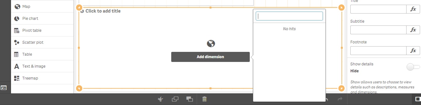
please suggest me where i am doing wrong?
- Mark as New
- Bookmark
- Subscribe
- Mute
- Subscribe to RSS Feed
- Permalink
- Report Inappropriate Content
Perhaps you don't have an geo dimensions in your model. have you loaded a kml file to nap your area or included longitude latitude data for point maps?
- Mark as New
- Bookmark
- Subscribe
- Mute
- Subscribe to RSS Feed
- Permalink
- Report Inappropriate Content
Hi andy,
What is KML file and can we do with State Name and City Name . Because we don't have latitude and longitude.
- Mark as New
- Bookmark
- Subscribe
- Mute
- Subscribe to RSS Feed
- Permalink
- Report Inappropriate Content
Have a look at the getting started with maps videos on the community site. it will give you a better understanding of what you need to make maps work.
- Mark as New
- Bookmark
- Subscribe
- Mute
- Subscribe to RSS Feed
- Permalink
- Report Inappropriate Content
From that Charts, You can't use existing fields from the model Because, We are calculating map from different pointers. From help you may get more clarification what does the use of Map and where KML / Excel involved
https://help.qlik.com/en-US/sense/3.2/Subsystems/Hub/Content/Visualizations/Map/map.htm