Unlock a world of possibilities! Login now and discover the exclusive benefits awaiting you.
- Qlik Community
- :
- Forums
- :
- Analytics
- :
- New to Qlik Analytics
- :
- Re: Labeling names to geopoints
- Subscribe to RSS Feed
- Mark Topic as New
- Mark Topic as Read
- Float this Topic for Current User
- Bookmark
- Subscribe
- Mute
- Printer Friendly Page
- Mark as New
- Bookmark
- Subscribe
- Mute
- Subscribe to RSS Feed
- Permalink
- Report Inappropriate Content
Labeling names to geopoints
Hello,
For a client ,I need to plot the bus locations and the stops of the busses on the map in Qlik Sense 2018 april release.
I did that, by using the gps long and latitude info.
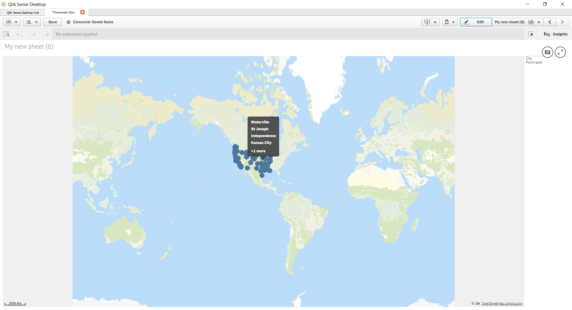
But when you hover over the datapoints you see the Geocode instead of the names of the buslocations?
How can I label the bus locations with the right names? I need to do the same with the bus ids.
I searched online but so far I have not found an answer.
Thanks in advance,
Liesbeth
- Mark as New
- Bookmark
- Subscribe
- Mute
- Subscribe to RSS Feed
- Permalink
- Report Inappropriate Content
Hi Liesbeth,
In your layer in the map there are two sections used for this.
Within the "Data" section you use the field/dimension that is the name of the location
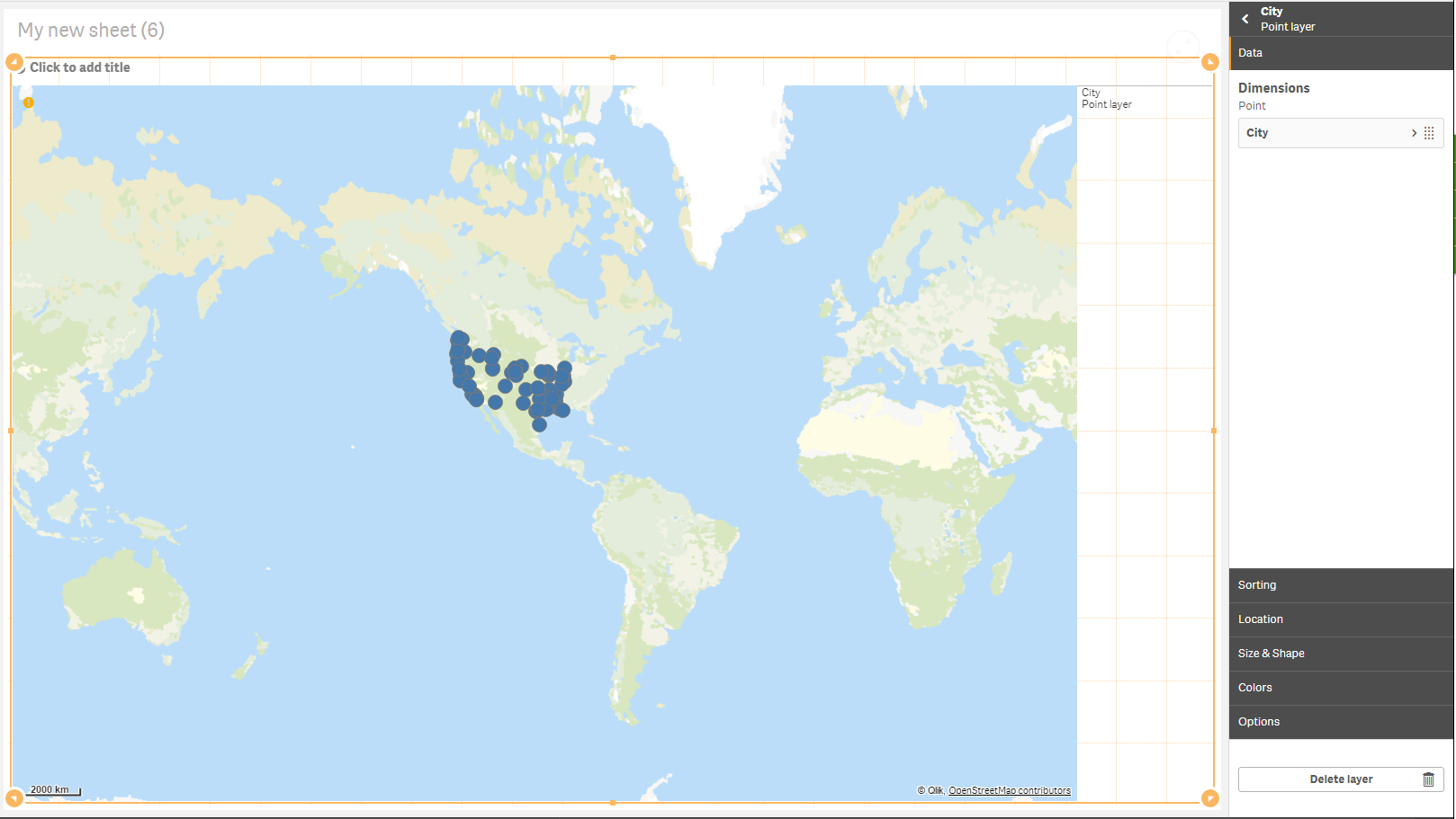
Within the "location" section you use the field(s)/dimension(s) that is for the position
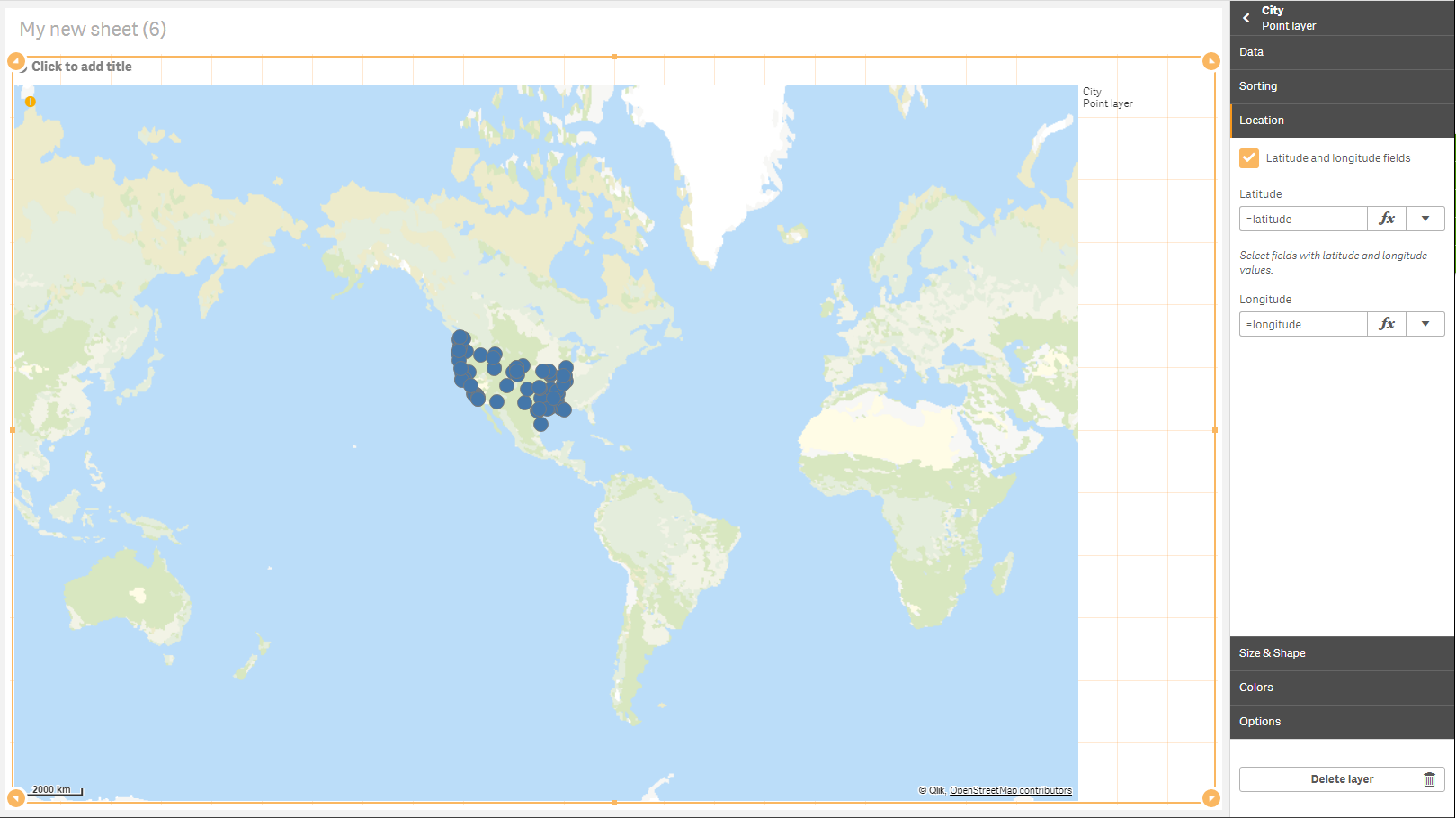
And the tooltip will then show what is in the data section
Regards,
Patrik.