Unlock a world of possibilities! Login now and discover the exclusive benefits awaiting you.
Announcements
Now accepting applications for the Qlik Luminary and Partner Ambassador Programs: Apply by July 6!
- Qlik Community
- :
- Forums
- :
- Analytics & AI
- :
- Products & Topics
- :
- App Development
- :
- Problem to generate a map
Options
- Subscribe to RSS Feed
- Mark Topic as New
- Mark Topic as Read
- Float this Topic for Current User
- Bookmark
- Subscribe
- Mute
- Printer Friendly Page
Turn on suggestions
Auto-suggest helps you quickly narrow down your search results by suggesting possible matches as you type.
Showing results for
Not applicable
2015-06-23
07:50 AM
- Mark as New
- Bookmark
- Subscribe
- Mute
- Subscribe to RSS Feed
- Permalink
- Report Inappropriate Content
Problem to generate a map
Hello!
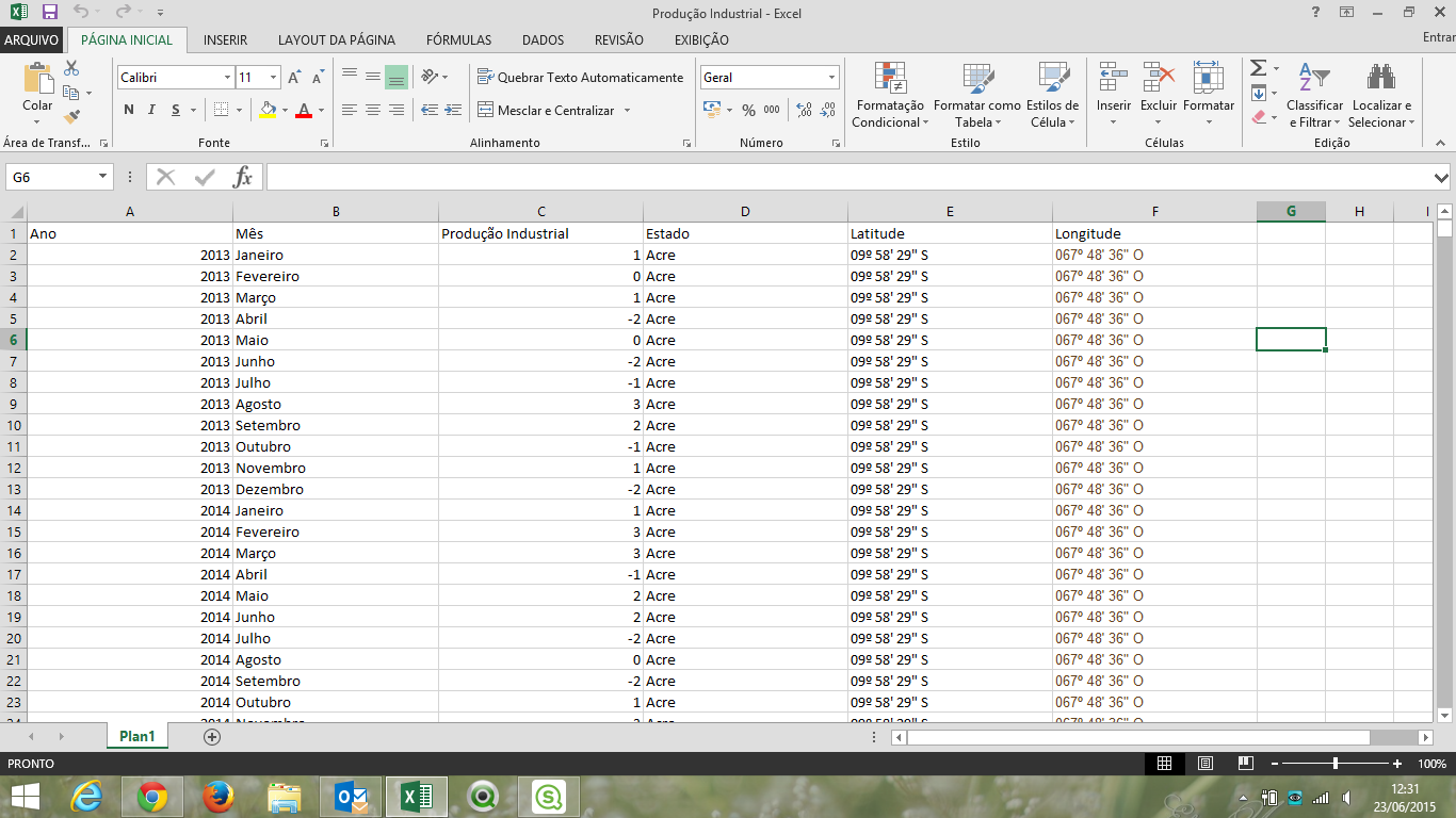
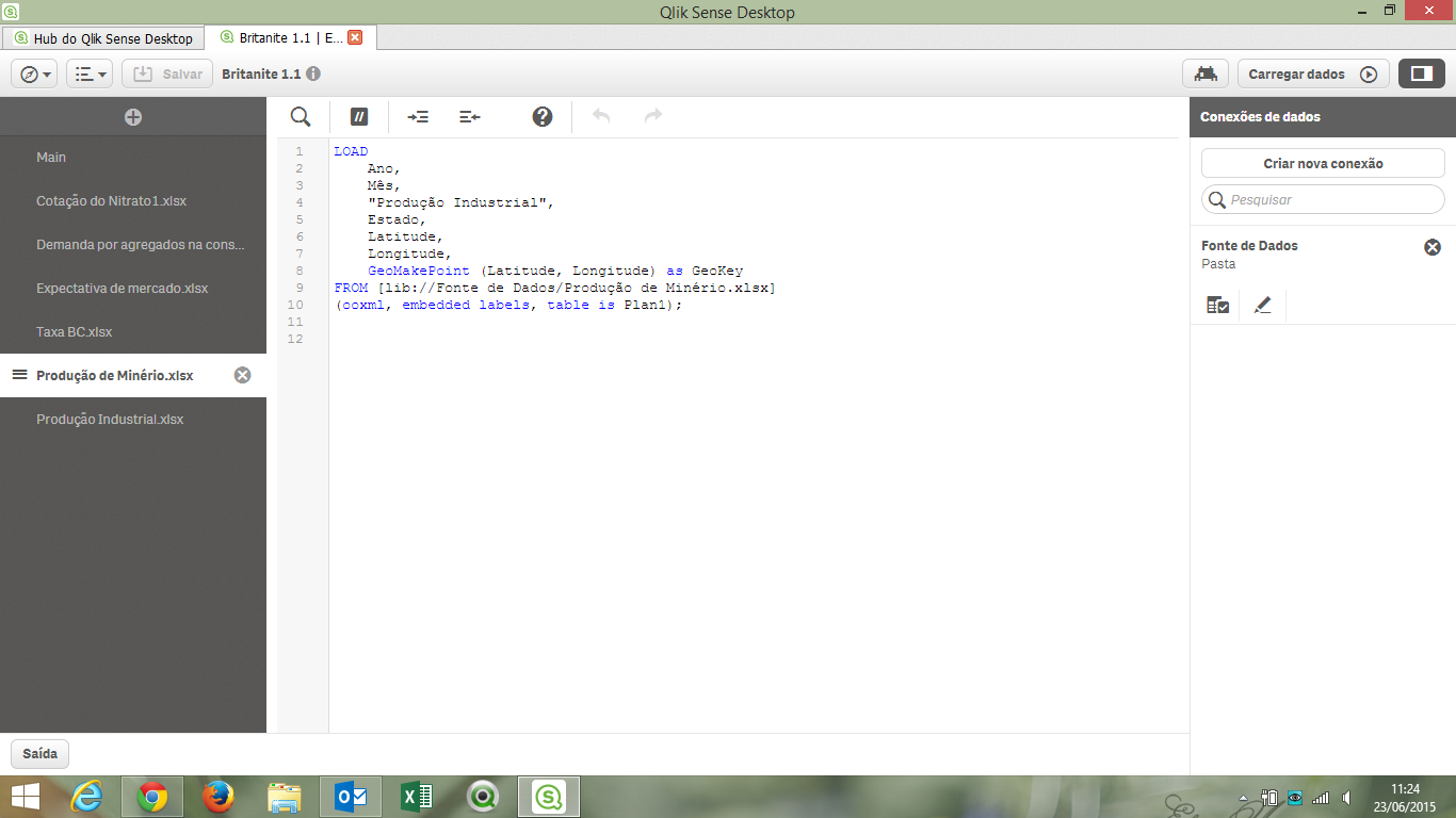
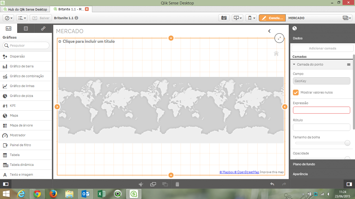
I'm having some problems to creat a map in Qlik Sense. I had tried to follow the second method sugested in this link (Using the Maps Chart Object - Points Maps - Part 1 - (video)) (use GeoMakePoint in load script) but it doesn't work. The error message is something like "The action you are trying to perform couldn´t be applyed to this visualization".
Thank you all.
Best regards,
Marjorie.
- Tags:
- map
- qlik sense
3,273 Views
1 Solution
Accepted Solutions
Not applicable
2015-06-24
08:24 AM
Author
- Mark as New
- Bookmark
- Subscribe
- Mute
- Subscribe to RSS Feed
- Permalink
- Report Inappropriate Content
3 Replies
Not applicable
2015-06-24
08:24 AM
Author
- Mark as New
- Bookmark
- Subscribe
- Mute
- Subscribe to RSS Feed
- Permalink
- Report Inappropriate Content
Latitude and longitude information were in wrong format.
Fixed.

Not applicable
2016-02-23
10:09 AM
Author
- Mark as New
- Bookmark
- Subscribe
- Mute
- Subscribe to RSS Feed
- Permalink
- Report Inappropriate Content
What are the supported formats then??
1,889 Views
Anonymous
Not applicable
2017-07-07
07:26 AM
Author
- Mark as New
- Bookmark
- Subscribe
- Mute
- Subscribe to RSS Feed
- Permalink
- Report Inappropriate Content
Depending on your settings at the top of your load script, latutude and longitude should be either like this;
| 52,440641 | 13,596177 |
Or like this:
| 52.440641 | 13.596177 |
(point or comma separated)