Unlock a world of possibilities! Login now and discover the exclusive benefits awaiting you.
- Qlik Community
- :
- All Forums
- :
- QlikView App Dev
- :
- Map problem
- Subscribe to RSS Feed
- Mark Topic as New
- Mark Topic as Read
- Float this Topic for Current User
- Bookmark
- Subscribe
- Mute
- Printer Friendly Page
- Mark as New
- Bookmark
- Subscribe
- Mute
- Subscribe to RSS Feed
- Permalink
- Report Inappropriate Content
Map problem
Hi, I am trying to do some distance analysis based on the postal codes of new South Wales, Australia. I get the desired results in the Pivot table and i think also in the Map. But the background image is not rendering at all correctly. Can you please help?
Thanks a lot.
Ram
Accepted Solutions
- Mark as New
- Bookmark
- Subscribe
- Mute
- Subscribe to RSS Feed
- Permalink
- Report Inappropriate Content
Hello.
It seems, your Lat1 and Long1 fields are wrong. They are about -0.5 and 2.5, respectively. It places your points in the middle of the Atlantic, near São Tomé e Príncipe, by the coast of Africa. Hence the blue image: it's the ocean. If you put a listbox with the field _zoom_level and select around 5, you'll see what I'm talking about.
So, you should not do what you did in the script:
Lat * pi() /180 as Lat,
Long * pi()/180 as Long,
If you use the latitude and longitude from the csv file directly, you'll have the points around Sydney, Australia. But the map won't be ok yet. You'll have to fix the if condition in the latitude and longitude expressions. If you remove them, you'll at least see the points in the correct places.
By the way, the latitude expression is missing a closing parenthesis.
Hope it helps.
Regards.
- Mark as New
- Bookmark
- Subscribe
- Mute
- Subscribe to RSS Feed
- Permalink
- Report Inappropriate Content
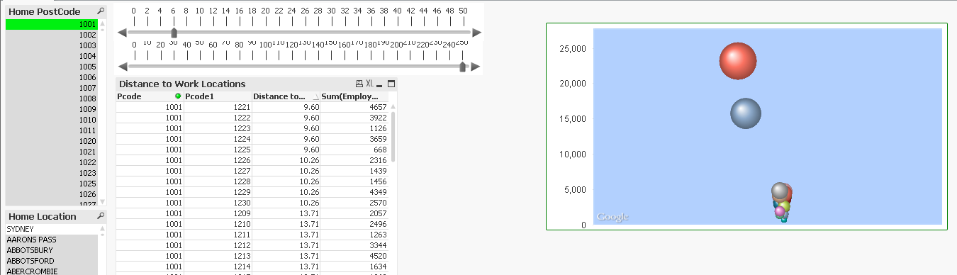
Thanks Bruno. I've made the changes, and it is looking good now. PFA. Please let me know if you still see anything wrong.
Once again many thanks for spending time for me.
- Mark as New
- Bookmark
- Subscribe
- Mute
- Subscribe to RSS Feed
- Permalink
- Report Inappropriate Content
You're welcome, Ramkumar.
Your new qvw looks good to me.
Glad I could be of assistance.
Best regards.
- Mark as New
- Bookmark
- Subscribe
- Mute
- Subscribe to RSS Feed
- Permalink
- Report Inappropriate Content
Hi Bruno, When I opened the file today I lost the background map image. Would you know why? I have a demo in a couple of days and i can't afford this to be this unstable.
regards,
Ram
- Mark as New
- Bookmark
- Subscribe
- Mute
- Subscribe to RSS Feed
- Permalink
- Report Inappropriate Content
Hi, Ramkumar.
Make sure the computer on which you open the file can access the internet, specifically the URL of the Google Maps API. That's the only thing I can think of.
Regards.