Unlock a world of possibilities! Login now and discover the exclusive benefits awaiting you.
- Qlik Community
- :
- All Forums
- :
- QlikView Integrations
- :
- SVG maps extension issues
- Subscribe to RSS Feed
- Mark Topic as New
- Mark Topic as Read
- Float this Topic for Current User
- Bookmark
- Subscribe
- Mute
- Printer Friendly Page
- Mark as New
- Bookmark
- Subscribe
- Mute
- Subscribe to RSS Feed
- Permalink
- Report Inappropriate Content
SVG maps extension issues
I started experimenting with the SVG-maps about a year ago. At that time it work perfectly fine on my own installation of qlikview. I think it was 11.2 SR 3 or 4. The client for whom I was asked to do this had an earlier Service release and it didn't work. The upgrade wasn't priority until recently so I just picked up on this again. Today both myself and the client run 11.2 SR5 and all of a sudden the extension does not function properly for either of us.
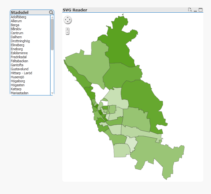
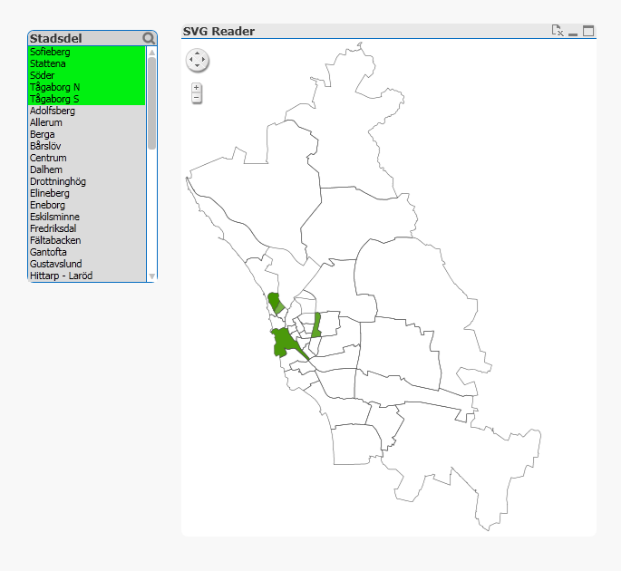
The map has been exported from some architect-program that I'm not familiar with from the City's Urban Planning Office. Last year I had to open it in Inkscape and save it for it to work. Today two of the city districts are white from the start with no tool-tip possible on these two areas. If I make a selection more areas just become white? There are a few selections that functions as expected but the majority does not. Why is this? is there anyone here who can make this work for me or has a clue on what the problem might be?
I'm using the latest version of SVG-maps taken from GIT-hub.
Attached is all related files
Thank you for taking your time.
Two city areas are white...
A selection makes more areas white...
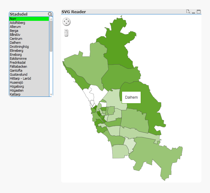
Some fields work though.
- « Previous Replies
-
- 1
- 2
- Next Replies »
- Mark as New
- Bookmark
- Subscribe
- Mute
- Subscribe to RSS Feed
- Permalink
- Report Inappropriate Content
Hi~Brain~
I don't have permission to access your page~What can I do~~~~%>_<%

- « Previous Replies
-
- 1
- 2
- Next Replies »