Unlock a world of possibilities! Login now and discover the exclusive benefits awaiting you.
- Qlik Community
- :
- All Forums
- :
- GeoAnalytics
- :
- Re: QlikSense geo-mapping - mapping postcodes WITH...
- Subscribe to RSS Feed
- Mark Topic as New
- Mark Topic as Read
- Float this Topic for Current User
- Bookmark
- Subscribe
- Mute
- Printer Friendly Page
- Mark as New
- Bookmark
- Subscribe
- Mute
- Subscribe to RSS Feed
- Permalink
- Report Inappropriate Content
QlikSense geo-mapping - mapping postcodes WITHIN states
Howdy,
I'm trying to map based on client postcodes. Only issue is my data is dirty, and a good chunk of my postcodes have mismatched postcode and state combinations e.g. Western Australian postcodes, but a client state of Victoria.
I'd like mapping to be based on a combination of postcode and state, to only map those clients with valid data.
This is also needed to support drill down dimensions. At the moment, I have a state and postcode drill down, but of course, with my data, when I select a state, I have postcodes from other states too.
Can someone help me with how to restrict mapping to BOTH postcode and state, rather than mapping only on one?
Thanks!
Beth
- Mark as New
- Bookmark
- Subscribe
- Mute
- Subscribe to RSS Feed
- Permalink
- Report Inappropriate Content
I should add, I also want to map states only if they have valid postcodes. I.e. I want to map only data (at either postcode or state level) that has a valid combination of postcode and state, where validity is something Qlik can map (e.g. not a blank) and a combination that is internally consistent (e.g. Victoria as state, Victorian postcode).
- Mark as New
- Bookmark
- Subscribe
- Mute
- Subscribe to RSS Feed
- Permalink
- Report Inappropriate Content
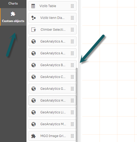
Hi Beth - just to make sure we are on the same page - are you using the Qlik GeoAnalytics extension, or the default native map component. The Qlik GeoAnalytics map objects are available under custom objects. The default native map component is available under Charts. The reason I ask, is because the native map does not support postal codes auto-geocoding - however Qlik GeoAnalytics does.
bps - do we have any samples that validates location data prior to the look-up?
Mike Tarallo
Qlik
- Mark as New
- Bookmark
- Subscribe
- Mute
- Subscribe to RSS Feed
- Permalink
- Report Inappropriate Content
Hi Michael,
Thanks for your response. I'm using the Qlik geo-analytics extension.
Regards,
Beth
- Mark as New
- Bookmark
- Subscribe
- Mute
- Subscribe to RSS Feed
- Permalink
- Report Inappropriate Content
Hi Beth,
State <-> zip for Australia is not present by default in the QGA location database. But that relationship can be constructed using "IntersectsMost" operation in the QGA connector. I provided a sample app, where adm1 have been matched with 4-digit zip codes.
You can extract the hierarchy from the app and left join with your data. These are the connector settings I used, see more details in the app:
/*
Operation: IntersectsMost
Dataset containing geometries.
Name: zip
Type: Standard areas and points
Geometry kind: Area
Type of data: Postal
Country code(s): AU
Name of service: default
Dataset containing geometries.
Name: adm1
Type: Standard areas and points
Geometry kind: Area
Type of data: Adm 1 area
Country code(s): AU
Name of service: default
*/
Thanks,
Patric