Unlock a world of possibilities! Login now and discover the exclusive benefits awaiting you.
- Qlik Community
- :
- All Forums
- :
- QlikView App Dev
- :
- Error
- Subscribe to RSS Feed
- Mark Topic as New
- Mark Topic as Read
- Float this Topic for Current User
- Bookmark
- Subscribe
- Mute
- Printer Friendly Page
- Mark as New
- Bookmark
- Subscribe
- Mute
- Subscribe to RSS Feed
- Permalink
- Report Inappropriate Content
Error
Hi ALl
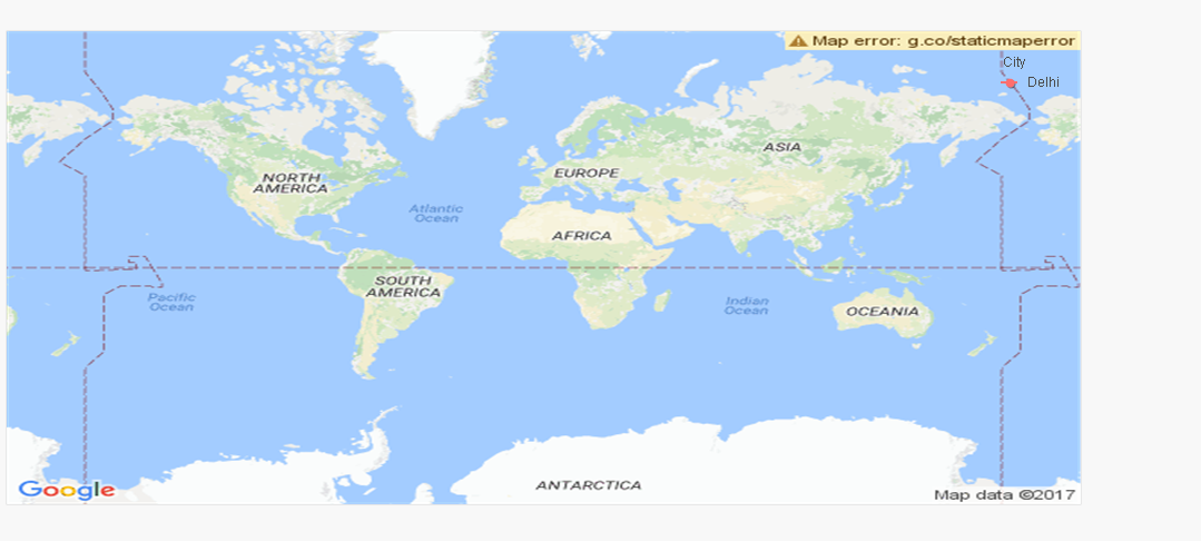
I have implemented the Map ,and after reloading on top right side of the map image iam geting an error as shown in the snap shot
I dont know what needs to be done .....
Iam using the below expression under dynamic image
='http://maps.google.com/maps/api/staticmap?center=' & num(var_mid_lat, '##############', '.', ',' ) & ',' & num(var_mid_long, '##############', '.', ',' ) & '&zoom=$(var_zoom)' & '&maptype='&var_maptype & '&size='&map_size_x&'x'&map_size_y & '&sensor=false'
 Can somone please help me , how do i get rid of thie error message ?
Accepted Solutions
- Mark as New
- Bookmark
- Subscribe
- Mute
- Subscribe to RSS Feed
- Permalink
- Report Inappropriate Content
- Mark as New
- Bookmark
- Subscribe
- Mute
- Subscribe to RSS Feed
- Permalink
- Report Inappropriate Content
Can you please share the qvw file?
- Mark as New
- Bookmark
- Subscribe
- Mute
- Subscribe to RSS Feed
- Permalink
- Report Inappropriate Content
Hi Kushal
Here is the sample qvw iam implementing it even doesnt show proper location ...
- Mark as New
- Bookmark
- Subscribe
- Mute
- Subscribe to RSS Feed
- Permalink
- Report Inappropriate Content
Hi John,
I think your problem is that the name of the fields in the original XLS file (capitalized e.g. Latitude) is not used in map variables (lowercased latitude😞
Map:
LOAD City,
Latitude,
Longititude,
Employee
FROM
(ooxml, embedded labels, table is Sheet6);
| var_mid_lat= | '=min(latitude)+(1+var_lat_offset)*((max(latitude)-min(latitude))/2)'; |
The easiest way to sove this is renaming XLS fields and expression fields:
Map:
LOAD City,
Latitude AS latitude,
Longititude AS longitude,
Employee
FROM
(ooxml, embedded labels, table is Sheet6);
I hope it serves!
Regards,
H
- Mark as New
- Bookmark
- Subscribe
- Mute
- Subscribe to RSS Feed
- Permalink
- Report Inappropriate Content
see attached file
hope this helps