Unlock a world of possibilities! Login now and discover the exclusive benefits awaiting you.
Announcements
April 13–15 - Dare to Unleash a New Professional You at Qlik Connect 2026: Register Now!
- Qlik Community
- :
- All Forums
- :
- QlikView Integrations
- :
- Re: KML Map issues
Options
- Subscribe to RSS Feed
- Mark Topic as New
- Mark Topic as Read
- Float this Topic for Current User
- Bookmark
- Subscribe
- Mute
- Printer Friendly Page
Turn on suggestions
Auto-suggest helps you quickly narrow down your search results by suggesting possible matches as you type.
Showing results for
Master
2016-10-27
04:29 AM
- Mark as New
- Bookmark
- Subscribe
- Mute
- Subscribe to RSS Feed
- Permalink
- Report Inappropriate Content
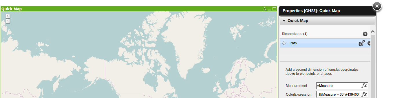
KML Map issues
Hi All and hopefully bmz !
I'm trying to plot some relatively simple KML data (to start with) but I can not get the map to render it at all.
The KML file seems to validate fine in QGIS but the extension won't show it, if I turn the coordinates on then it works just fine.
I want to use the KML rather than coordinates as the full data set includes multi-level polygons due to some islands etc (See below)
My points are:
- I don't understand why my simple KML won't work
- Can the extension handle these multi level polys via KML (I know the coordinates won't work)
- Does anyone fancy trying to fiddle it to work with GEOJSON such as here javascript - Convert Multipolygon Geojson to multiple geojson polygons? - Geographic Information Sys...
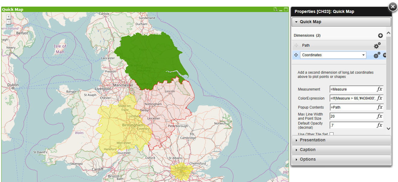
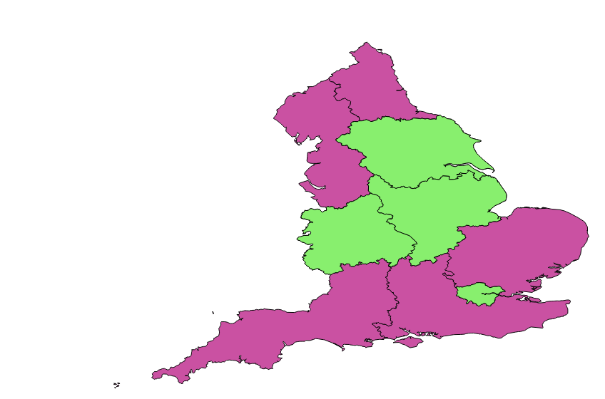
The green areas show the 'simple' polygons and the pink are the ones with multiple levels to them
- Tags:
- qlikview_extensions
746 Views
1 Reply
Master
2016-11-07
03:19 AM
Author
- Mark as New
- Bookmark
- Subscribe
- Mute
- Subscribe to RSS Feed
- Permalink
- Report Inappropriate Content
Just stuffed it and made it work as a drill down instead!
557 Views