Unlock a world of possibilities! Login now and discover the exclusive benefits awaiting you.

- Qlik Community
- :
- Forums
- :
- Analytics & AI
- :
- Products & Topics
- :
- Visualization and Usability
- :
- Maps in Qlik Sense
Options
- Subscribe to RSS Feed
- Mark Topic as New
- Mark Topic as Read
- Float this Topic for Current User
- Bookmark
- Subscribe
- Mute
- Printer Friendly Page
Turn on suggestions
Auto-suggest helps you quickly narrow down your search results by suggesting possible matches as you type.
Showing results for

 ali_hijazi
Partner - Master II
2016-06-03
08:19 AM
- Mark as New
- Bookmark
- Subscribe
- Mute
- Subscribe to RSS Feed
- Permalink
- Report Inappropriate Content
Maps in Qlik Sense
Hello
I want to create a point map and show as bubbles the customer names and the corresponding NetSales per selection
I have the longitude and latitude of each customer
I created a master item (dimension) as GeoMakePoint(Latitude,Longitude)
now when I drag this dimension to the map object I get ADD AS POINT LAYER and I can choose from numeric columns something which I don't know why or what to do with
Please advise on how to accomplish the requirement I mentioned above
I can walk on water when it freezes
751 Views
1 Reply

Anonymous
Not applicable
2016-06-03
08:42 AM
- Mark as New
- Bookmark
- Subscribe
- Mute
- Subscribe to RSS Feed
- Permalink
- Report Inappropriate Content
Hi Ali,
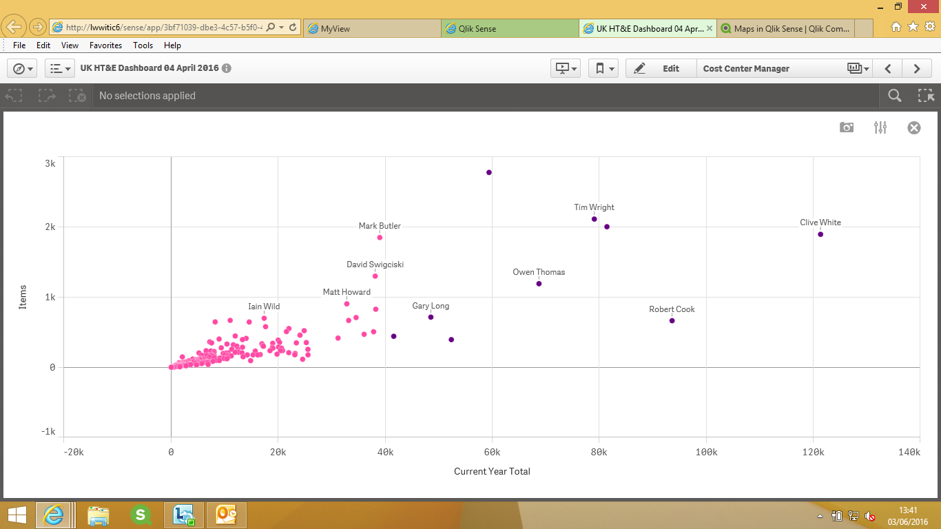
Please find screen shot below and let me know if this is what you are looking for then I will give more details on the data used and the expressions for the same..
Thanks
636 Views