Unlock a world of possibilities! Login now and discover the exclusive benefits awaiting you.
Announcements
Data Works for AI is here - Join the discussion and enter to win a pair of Qlik kicks: Join the Conversation!
- Qlik Community
- :
- Forums
- :
- Analytics & AI
- :
- Products & Topics
- :
- App Development
- :
- GeoAnalytics Line Layer
Options
- Subscribe to RSS Feed
- Mark Topic as New
- Mark Topic as Read
- Float this Topic for Current User
- Bookmark
- Subscribe
- Mute
- Printer Friendly Page
Turn on suggestions
Auto-suggest helps you quickly narrow down your search results by suggesting possible matches as you type.
Showing results for
Contributor II
2018-08-28
08:18 AM
- Mark as New
- Bookmark
- Subscribe
- Mute
- Subscribe to RSS Feed
- Permalink
- Report Inappropriate Content
GeoAnalytics Line Layer
Hi all,
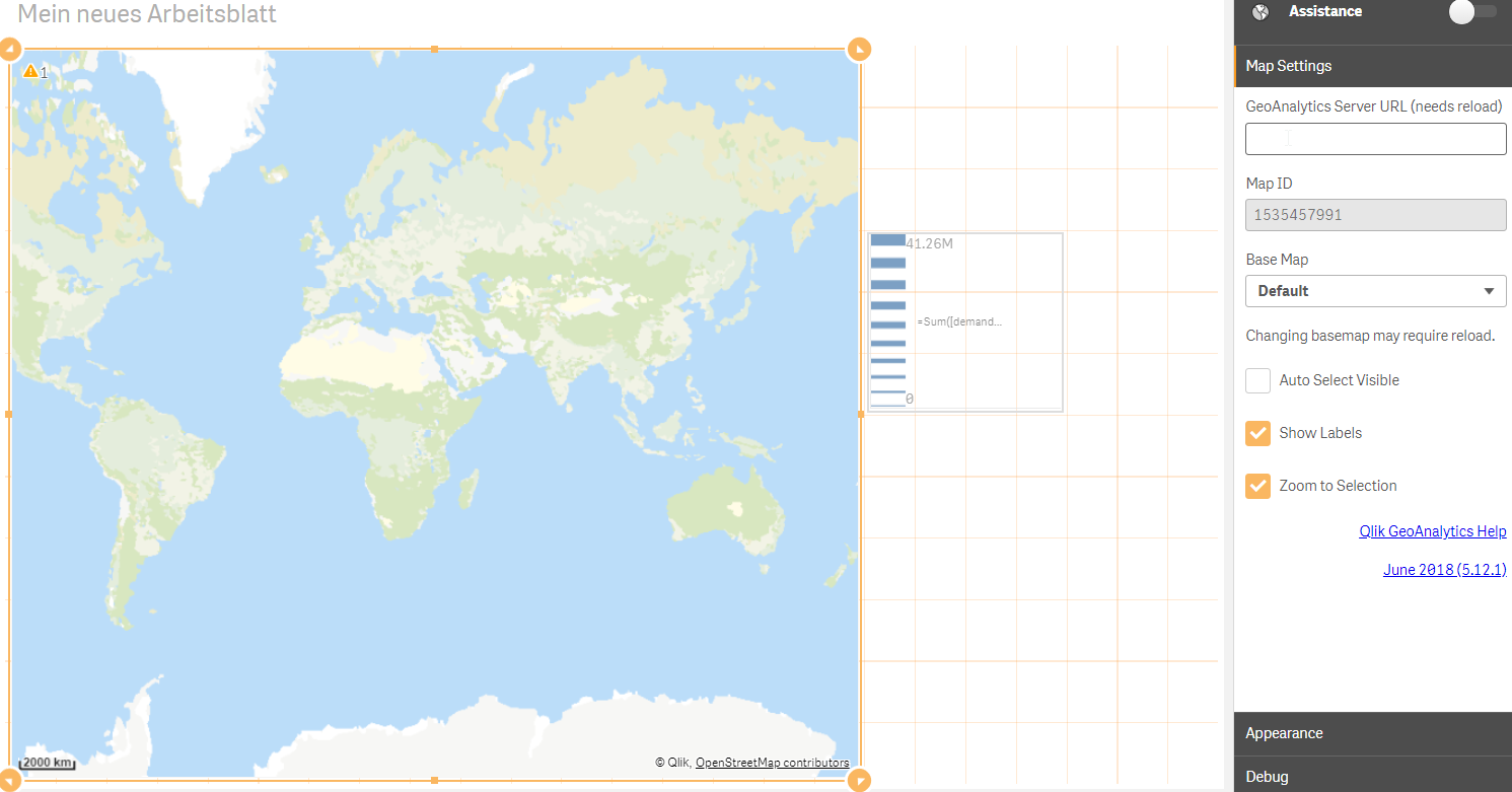
I want to use GeoAnalytics Map and Line Layer to show the supplier chain from suppliers to our factories world wide.
I have GPS data of our suppliers and the city name of our factories. So I set up the map like this:
1. GeoAnalytics Map
I get an Map ID.
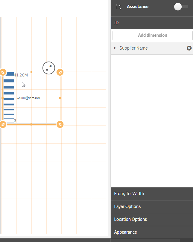
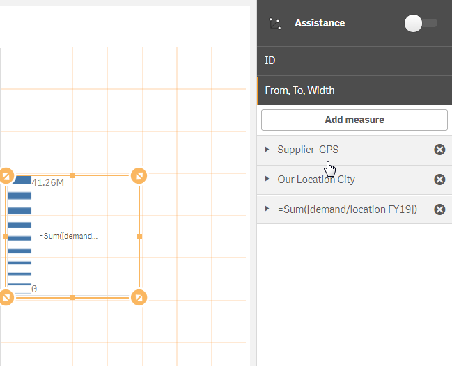
2. Then insert a Line Layer with the settings
But then nothing was shown on the map. Can someone help please?
BR, XY
751 Views
0 Replies