Unlock a world of possibilities! Login now and discover the exclusive benefits awaiting you.
- Qlik Community
- :
- All Forums
- :
- QlikView Integrations
- :
- Use Google Earth as editor for "qlikmap" extension
- Subscribe to RSS Feed
- Mark Topic as New
- Mark Topic as Read
- Float this Topic for Current User
- Bookmark
- Subscribe
- Mute
- Printer Friendly Page
- Mark as New
- Bookmark
- Subscribe
- Mute
- Subscribe to RSS Feed
- Permalink
- Report Inappropriate Content
Use Google Earth as editor for "qlikmap" extension
►See me demonstrate this on Youtube: http://www.youtube.com/watch?v=qkix5Dyg0VE
If you have the following three, Google Earth, QlikView’s free mapping extension “qlikmap” (by Brian Munz, this extension is part of QV11.2 SR5 and higher) and my attached QlikView app (particularily the load script from it), you can use Google Earh as the editor for custom places, paths, or shapes. This is exactly what our qlikmap extension supports: places, paths, or shapes.
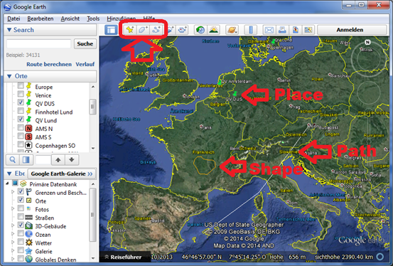
This will be visible like that
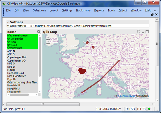
Google Earth saves the custom objects in a “.KML” file, which is in XML syntax that the Load Script can parse with no deviations
- Places (“dots”) are stored as triples of Longitude/Latitude/Height in the tag [Point/coordinates]
- Shapes and Paths are stored as a space-separated list of such triples in the tag [LineString/coordinates]
All I had to do is to get rid of the 3rd parameter of those triples (removing the Height parameter) and concatenate-load the two fields into one final “LongLat” field. All three object types are translated below.
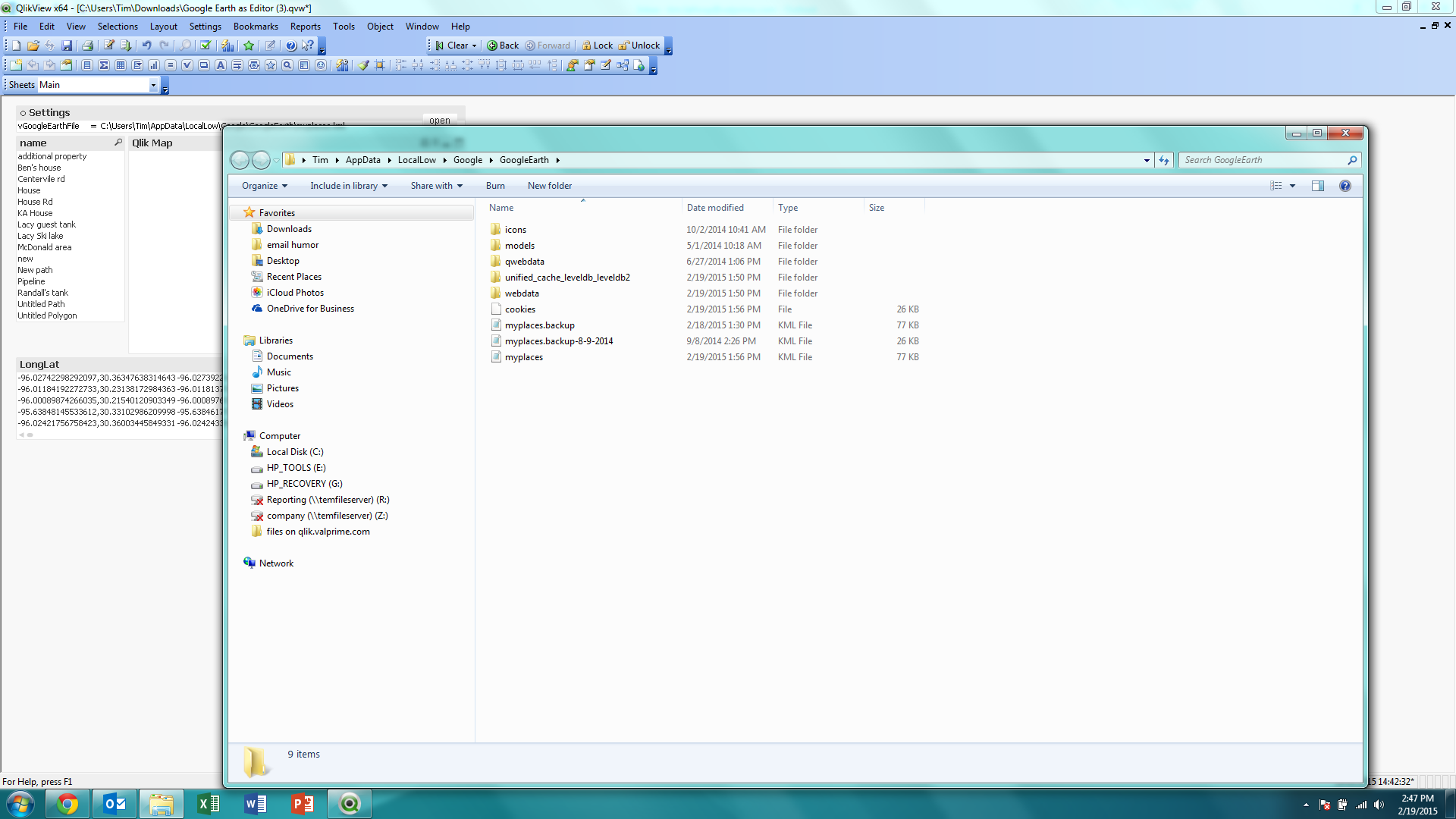
The Google Earth file can be found here:
C:\Users\<WindowsUser>\AppData\LocalLow\Google\GoogleEarth\myplaces.kml
► find attached QVW file to see the few steps to parse the Google Earth for QlikView use
► get the latest version of “qlikmap” extension here https://github.com/brianwmunz/QuickMap-QV11
► Related article World countries as Shape Files for free "qlikmap" extension
- Tags:
- qlikview_extensions
- Mark as New
- Bookmark
- Subscribe
- Mute
- Subscribe to RSS Feed
- Permalink
- Report Inappropriate Content
getting an error message. Once I click on "yes" I get the second screen??? Can you tell me what I am doing wrong?

- Mark as New
- Bookmark
- Subscribe
- Mute
- Subscribe to RSS Feed
- Permalink
- Report Inappropriate Content
I tried it both in on and off web view???